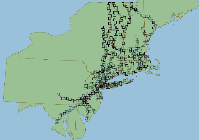
NELS developed and maintains a library of 520 detailed track-level CAD drawings representing over 6,000 miles of rail lines in the northeast region of the U.S. This data is organized into 10 by 10 mile area "tiles" which together, account for 52,000 square miles of the entire northeast region of the US. Each tile interlocks with adjoining tiles allowing for analysis and display of contiguous routes. Individual tiles for areas of interest can be used on a standalone basis. NELS also provides the option to integrate this detailed data with with GIS data layers to provide a level of detail not otherwise possible. This data is not available to the general public.
For more information on specific locations and a sample tile image, please contact us directly.